Populating the Matrix
Instructions:
In the population of the landscape matrix each student will negotiate topographic borders, make suppositions regarding weather patterns, geologic processes, and human interaction to arrive at a representation of these convergent forces.
Each tile is referenced to a specific point on the overall matrix. It may be useful for this project to locate your tile at the world origin (0,0,0) as you work.
Generating Topography:
You have several methods at your disposal for generating the topographic profile of your piece of the matrix. Listed below are two possibilities--however, as your fluency with 3d modeling increases, you will learn that there are many ways to generate topography.
1. Rhino Terrain
After drawing contours on your site and moving them to the appropriate Z-height, Rhino terrain will take as an input the curves representing your topography and will generate a mesh using the command RtTerrainCreate
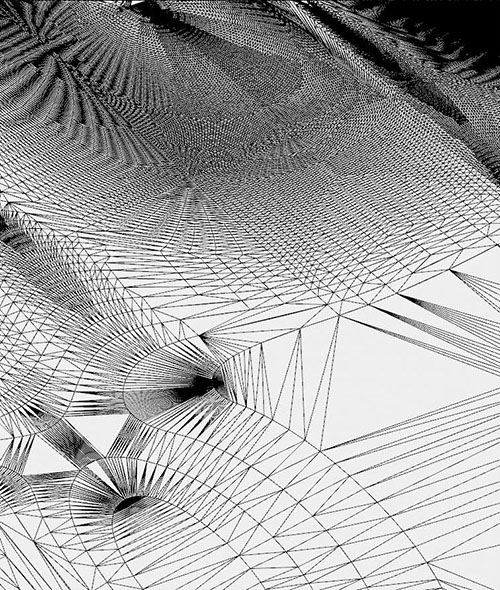
Be aware that Rhino Terrain’s meshing algorithm creates very large, irregular vertices and that these vertices and faces can be very hard to manipulate manually.

2. Mesh Terrains from Grasshopper:
In addition to Rhino Terrain, grasshopper is capable of producing very high resolution mesh terrains from grayscale color ramps or Digital Elevation Models.
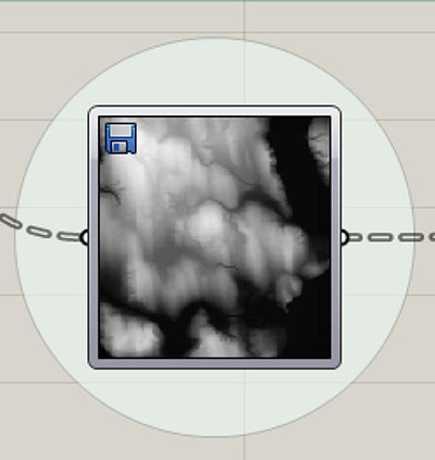
Digital Elevation models are created from satellite imaging. Each pixel in the image represents a sampled point. That point is given a value from 0 to 255 based on its elevation, which corresponds to a value of RGB gray. We can use digital elevation models culled from GIS databases to create a base topography.
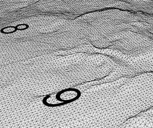
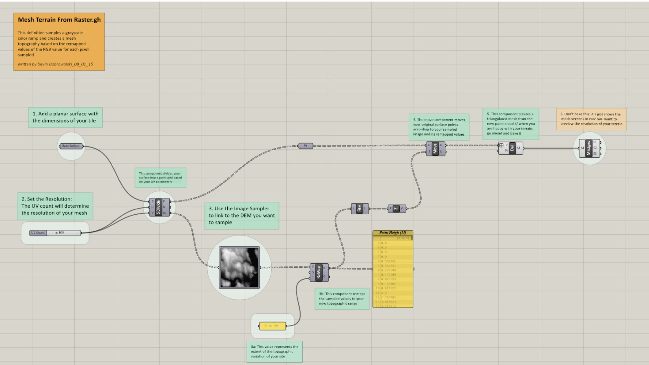
The grasshopper definition ‘Mesh Terrain from Raster’ samples a grayscale image and creates a triangulated mesh from the grayscale pixel data of each cell.

3. Mesh Terrain from Raster.gh
This grasshopper definition takes as input a planar surface equal to the size of your matrix tile.
From this surface a point grid is created. These points will form the vertices of our mesh terrain.
The resolution of the grid is set by the U and V density of the surface.
The image sampler will link to a grayscale image. From here, values will be remapped according to a range set by the user. The remapped values will represent the absolute value of the difference between the high and low points on your site--this definition offers great freedom to determine the extremity of topography change across the site.
Baking this component will provide you with a triangulated mesh base for your site.
A fully commented version of this definition will be made available to the class.

Remember: the profile of your final site will necessarily involve many iterations that will withallow it to align with neighboring sites and meet specifica corner elevations--this definitionwill only be part of the process that may involve working back and forth between rhinoterrain, grasshopper, and photoshop, to arrive at the final product.
